Naturschutzgebiet „Bergsenkungsgebiet an der Amalienhöhe - Wiesen nördlich Weile
55425 Waldalgesheim
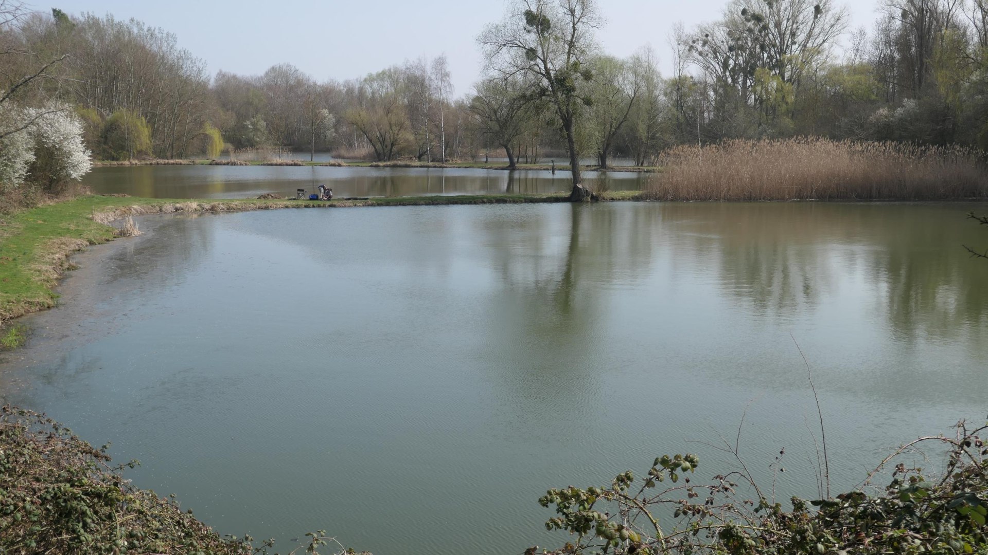
The ponds in the area of the mountain subsidence south of the former Amalienhöhe mine are a nature reserve.
It extends over an 87-hectare area north of the L214 state road between Waldalgesheim and Weiler bei Bingen. The general purpose of protection is the preservation and development of a large-scale near-natural mountain subsidence area and an adjacent orchard area as a coherent biotope complex. The special characteristic of the habitat for wild plant and animal species are the near-natural water areas and lakes created by mountain subsidence. The area is accessible by footpaths leading from the Provizialstraße and the Landesstraße L 214 in northern direction.

